
Garmin BaseCamp
3D mapping application
Garmin BaseCamp is a desktop application for macOS that provides tools for planning outdoor activities using three‑dimensional maps. Users can import and organize GPS tracks, waypoints, and routes, then visualize them on detailed terrain models to assess elevation changes and terrain features before heading out.
The software also serves as a data hub, allowing users to manage recordings from Garmin devices, edit waypoints, and combine multiple data sets into a single project. Once a plan is complete, BaseCamp enables exporting or sharing the compiled maps and routes with other users or devices.
Its focus on 3D terrain visualization and integration with Garmin hardware makes it suitable for hikers, cyclists, and other outdoor enthusiasts who need precise route planning and a way to keep their GPS data organized.
Reviews
Loading reviews…
Similar apps

Window & Desktop Management
Memory-Map
GPS navigation software
Travel & Trip Planning
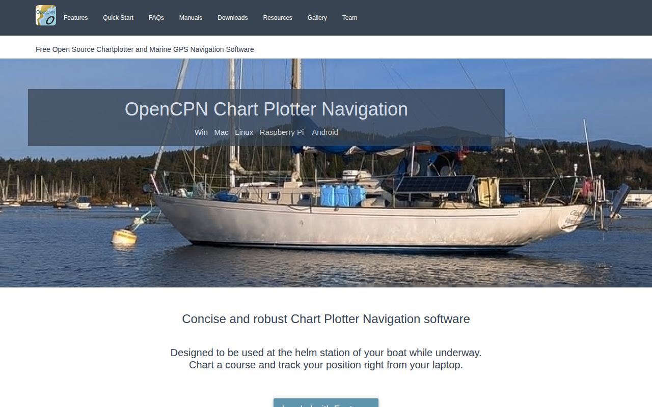
OpenCPN
Full-featured and concise ChartPlotter/Navigator

Task & Project Management
Basecamp
All-In-One Toolkit for Working Remotely
Travel & Trip Planning
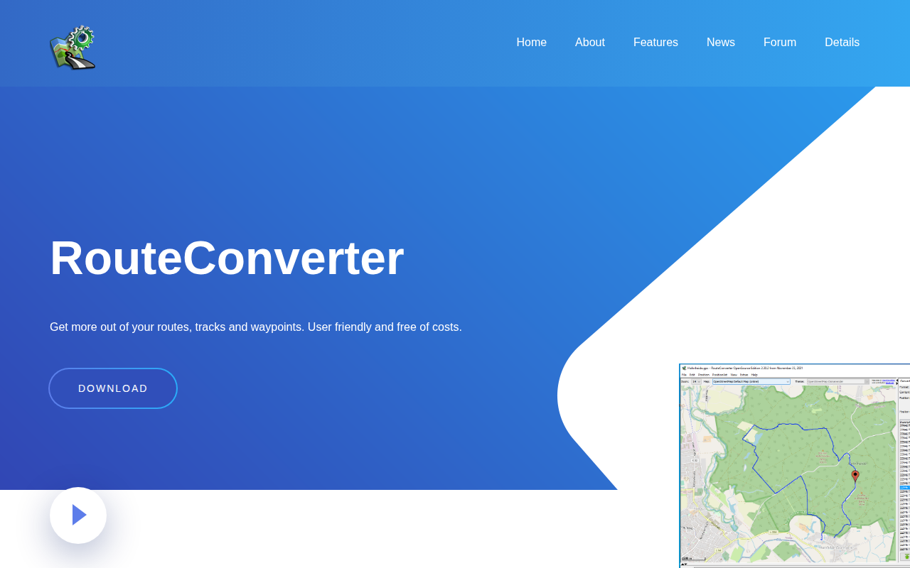
RouteConverter
GPS tool to display, edit, enrich and convert routes, tracks and waypoints

DevOps & Infrastructure
Garmin Connect IQ SDK
Build wearable experiences for Garmin devices and sensors with ConnectIQ SDK

Task & Project Management
Navigraph Charts
Access professional and updated Jeppesen charts for flight simulation