mapscii
Terminal Map Viewer.
Mapscii renders vector‑tile map data directly in xterm‑compatible terminals using Braille and ASCII characters. It parses OpenStreetMap‑derived vector tiles, including MBTiles files, and converts geographic features into colored glyphs that can be scrolled and zoomed with keyboard arrows, mouse dragging, or scroll‑wheel input. The viewer supports point‑of‑interest lookup, customizable layer styling via Mapbox style specifications, and can connect to any public or private vector‑tile server as well as work offline with pre‑downloaded tiles.
The tool is implemented in pure JavaScript and runs on Node.js (≥ 10). Installation is possible through npm, snap, or by invoking the package with npx, and it can be launched locally with the command `mapscii`. Keyboard shortcuts provide navigation, zoom, and mode switching, while mouse support is available when the terminal reports mouse events.
Mapscii relies on a collection of libraries for console handling, tile decoding, spatial indexing, and rendering, including x256 for color mapping, vector‑tile for tile parsing, earcut for polygon triangulation, and rbush for spatial queries. The project is stable and maintained, with ongoing work to add features such as GeoJSON support and multithreaded tile processing.
Reviews
Loading reviews…
Similar apps
Terminals & CLI
astroterm
An ASCII planetarium.
Terminals & CLI
cli-mandelbrot
Traverse the Mandelbrot fractal.
Terminals & CLI
Core Location CLI
Prints location information from CoreLocation
DevOps & Infrastructure
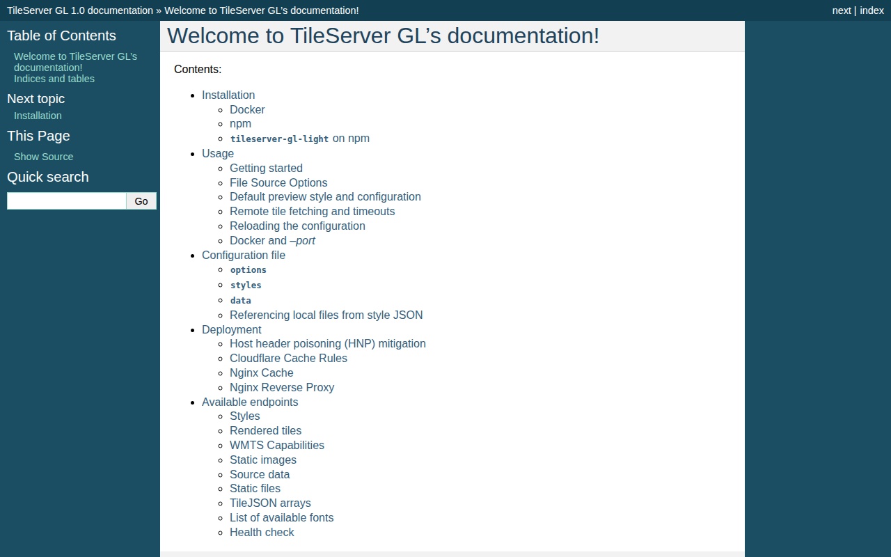
TileServer GL
Vector and raster maps with GL styles. Server side rendering by Mapbox GL Native. Map tile server for Mapbox GL JS, Android, iOS, Leaflet…
Terminals & CLI
WOPR
A simple markup language for creating rich terminal reports, presentations and infographics.
Weather & Outdoors
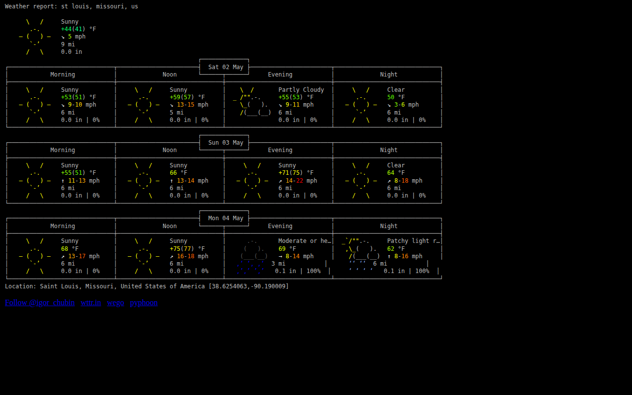
wttr.in
wttr.in - listed on awesome-cli-apps.