ChemTracker
Real-time flight surveillance and spray detection powered by atmospheric science. Track which aircraft are leaving trails over your area.
ChemTracker processes live data from aircraft transponders and atmospheric models to identify and visualise chemical or contrail trails produced by flights overhead. The system analyses flight paths in real time, applying atmospheric science calculations to distinguish visible spray or exhaust patterns from normal weather phenomena. Results are displayed on an interactive map that highlights the aircraft responsible for each detected trail within the user’s geographic area.
The tool is aimed at researchers, hobbyists, and community groups interested in monitoring aerial emissions and their potential environmental impact. By correlating flight telemetry with atmospheric conditions, it offers a transparent view of where and when aircraft are generating observable trails.
Implemented as an experimental utility, ChemTracker focuses on real‑time processing and map‑based visualisation, allowing users to observe and record trail activity without requiring specialized hardware or external data sources.
Reviews
Loading reviews…
Similar apps

Network & Connectivity
Blotter
Police radio, mapped in real time
Network & Connectivity
My!hū
See global environmental data in one real-time platform.
Network & Connectivity
azmth.space
A live 3D globe of every satellite orbiting Earth
Network & Connectivity
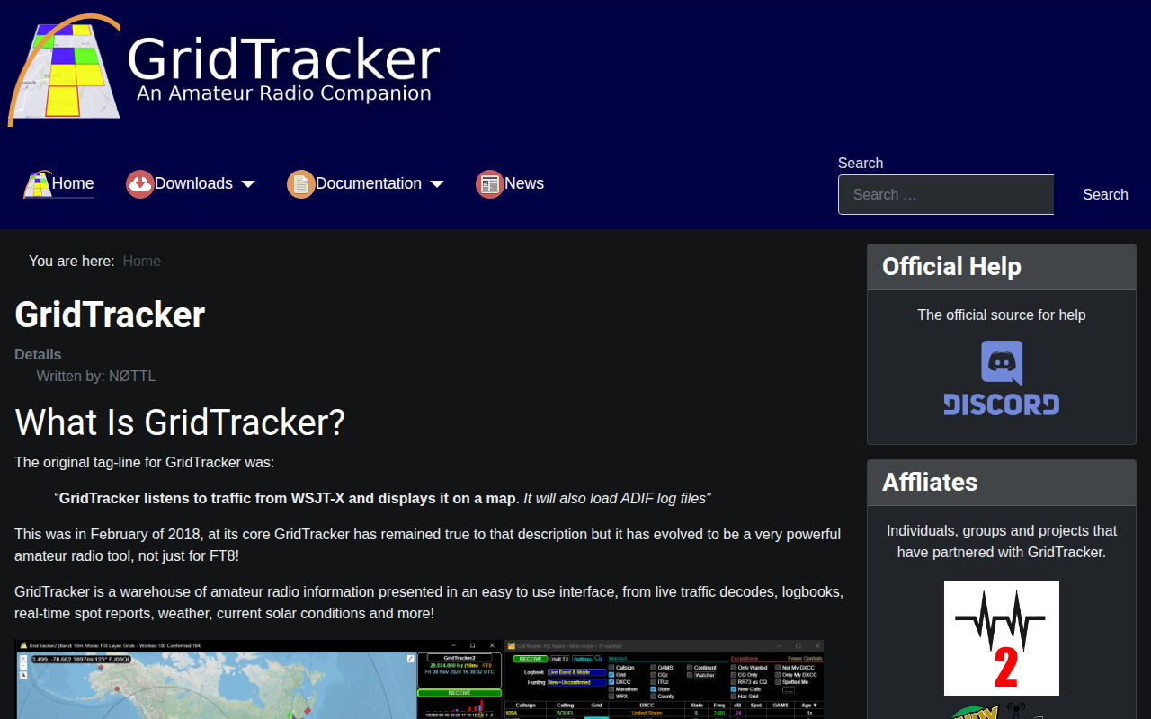
GridTracker2
Warehouse of amateur radio information presented in an easy to use interface

Network & Connectivity
Netwoke
Your Network has Secrets, Now you can see Them.

Network & Connectivity
ClientProfit
ClientProfit — software product.