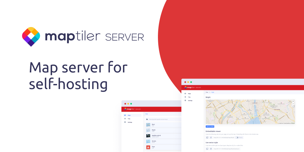
MapTiler Server
Host OpenStreetMap vector tiles, satellite imagery, own geodata and data from PostGIS database.
The software provides a self‑hosted map server that can serve OpenStreetMap vector tiles, satellite and aerial imagery, and user‑supplied geodata. It accepts data in formats such as GeoPackage, MBTiles, Shapefiles, and can generate tiles directly from a PostGIS database, allowing real‑time updates from spatial tables. A web‑based administration interface lets users configure map services, back up configurations, and embed viewers via URLs or iframes.
It is designed for environments that require offline or on‑premises map delivery, such as intranets, secure firewalls, or portable laptops. The server pre‑generates tiles for instant rendering and supports standard web‑mapping protocols including XYZ, TileJSON, WMTS, and other OGC services, enabling integration with GIS, analytics, and dashboard tools without internet access.
The product includes ready‑to‑use global street basemaps and high‑resolution satellite imagery for regions like the United States, Europe, and Japan. Users can add custom datasets through a step‑by‑step wizard, and the system can be deployed on‑premises or via Kubernetes for larger enterprises. The software is offered under a proprietary license with a self‑hostable, free‑tier option and no subscription requirement.
Reviews
Loading reviews…
Similar apps
DevOps & Infrastructure
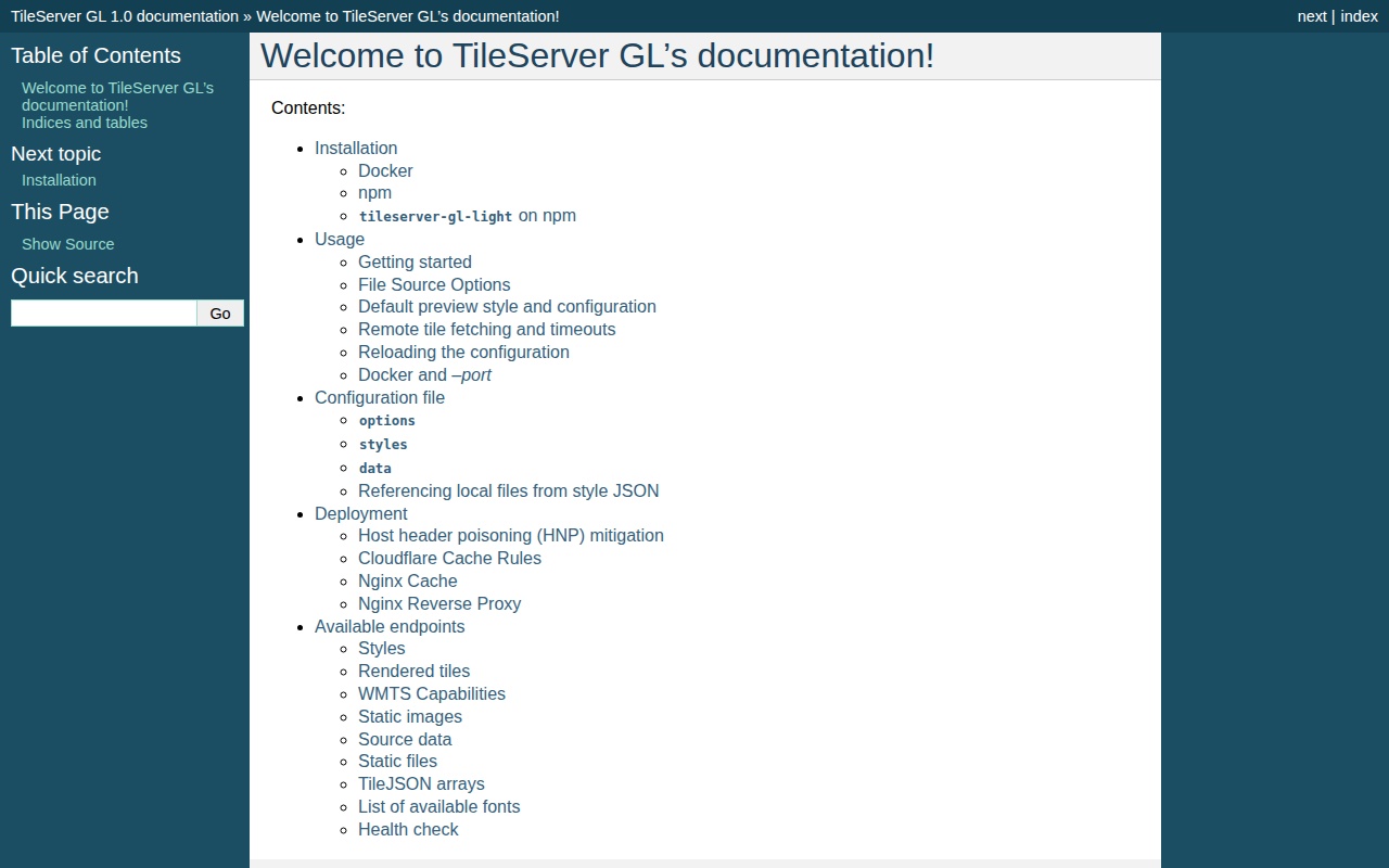
TileServer GL
Vector and raster maps with GL styles. Server side rendering by Mapbox GL Native. Map tile server for Mapbox GL JS, Android, iOS, Leaflet…
API & Network Testing
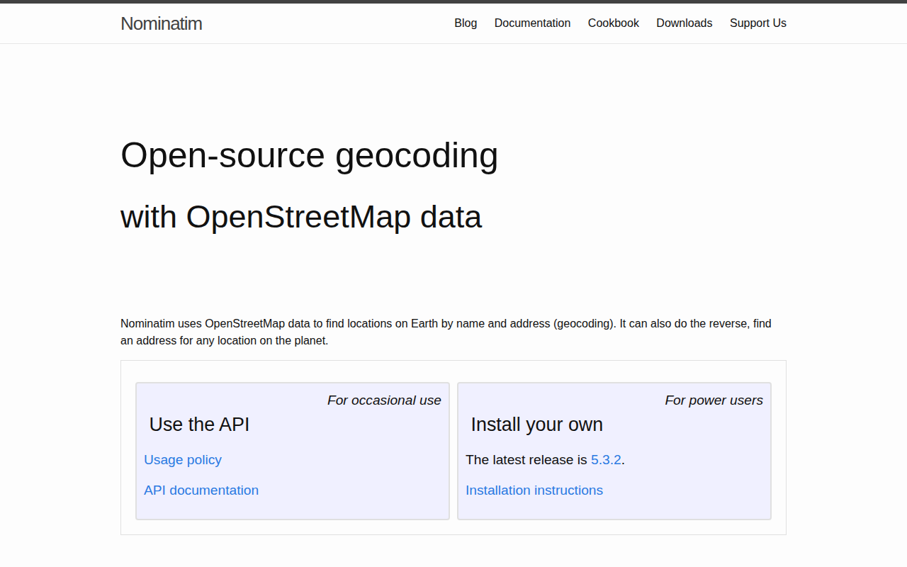
Nominatim
Server application for geocoding (address -> coordinates) and reverse geocoding (coordinates -> address) on OpenStreetMap data.
Travel & Trip Planning
OpenStreetMap
Collaborative project to create a free editable map of the world.

API & Network Testing
Open Source Routing Machine (OSRM)
High performance routing engine designed to run on OpenStreetMap data and offering an HTTP API, C++ library interface, and Nodejs wrapper.
Travel & Trip Planning
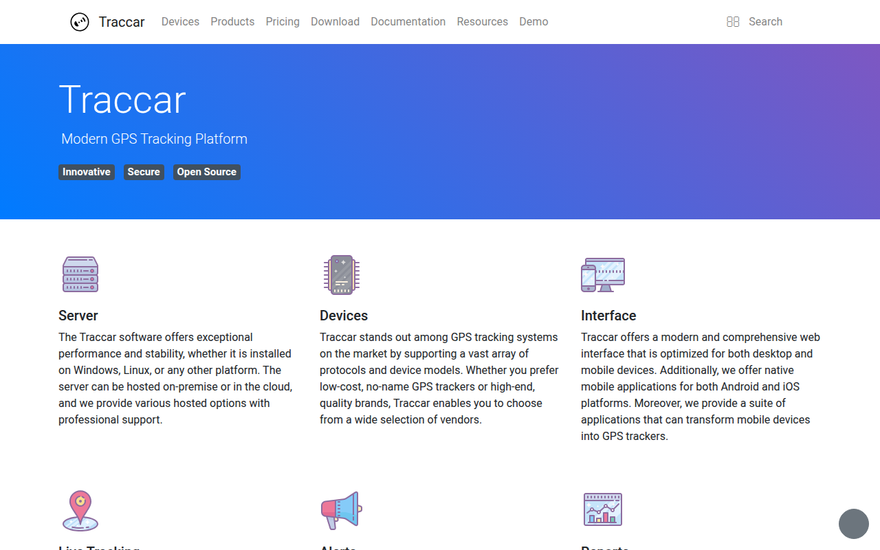
Traccar
Java application to track GPS positions. Supports loads of tracking devices and protocols, has an Android and iOS App. Has a web interface…
Task & Project Management
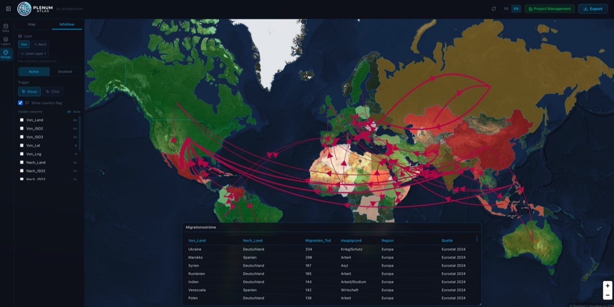
Plenum Atlas
Interactive map dashboards from your CSV