Plenum Atlas
Interactive map dashboards from your CSV
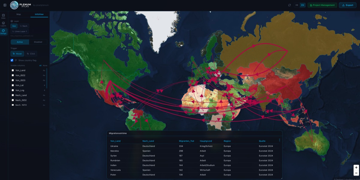
Plenum Atlas converts CSV or Excel spreadsheets into interactive map dashboards on Mac and Windows without requiring code or server connections. Users drag a spreadsheet onto the application, which automatically detects columns such as country names, ISO codes, coordinates, and numeric values, allowing multiple datasets to be layered on a single map. The tool offers ten built‑in map styles and eight visualization layers—including choropleth, points, bubbles, heatmaps, text labels, connection lines, and hub‑and‑spoke—supporting both provided shapefiles and user‑uploaded GeoJSON or shapefiles.
The interface provides draggable, resizable dashboard windows that can display data tables, bar, line, and pie charts, as well as KPI values. These windows stay synchronized with the map in real time, so interactions like clicking or hovering over a region instantly filter tables and update charts. The software is positioned for users who need to explore geographic data quickly and visually, such as analysts, planners, or anyone working with location‑based spreadsheets.
Reviews
Loading reviews…
Similar apps
Task & Project Management
Atlas
A collaborative roadmap tool for planning and tracking team projects.
Databases & Data Tools
MapTiler Server
Host OpenStreetMap vector tiles, satellite imagery, own geodata and data from PostGIS database.

Task & Project Management
Mindmanager
Mind Mapping Tool
Task & Project Management
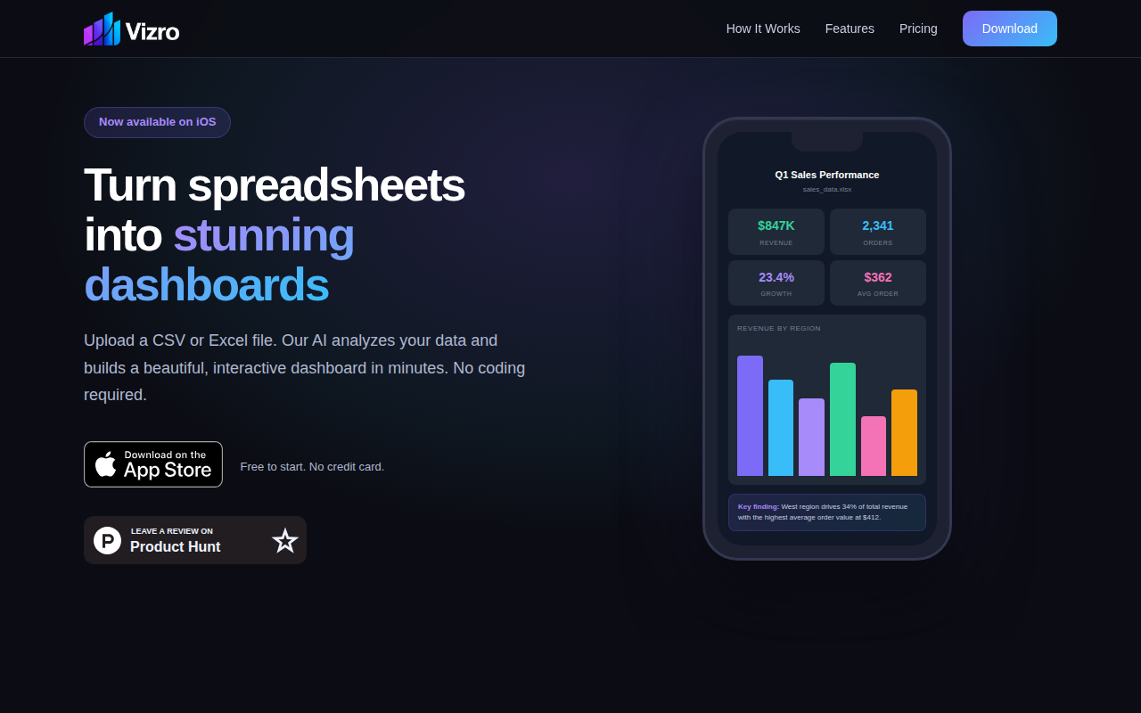
Vizro
Turn any spreadsheet into a dashboard, on your phone

Task & Project Management
QGIS
Geographic Information System

Diagramming & Whiteboarding
QuikFlow
Create flowcharts with a mind-mapping workflow.