
QGIS
Geographic Information System
QGIS is an open‑source geographic information system that lets users create, edit, and analyze spatial data across desktop, mobile, cloud, and print media. It offers a full suite of cartographic design tools, an intuitive layout designer for large‑format printing, and reporting features such as atlases that combine maps with tabular content.
The platform supports precise digitizing of points, lines, polygons, and meshes, with advanced construction tools for curves, CAD‑like operations, and geometry transformations. Users can build custom forms through a visual form designer and connect to a wide range of data sources and formats, including web services that follow industry standards.
QGIS includes a comprehensive toolbox for spatial analysis and automated workflows, and it can be extended with third‑party plugins. The software is maintained by a global community, released under the GNU GPLv2+ license, and is available for Windows, macOS, and Linux.
Reviews
Loading reviews…
Similar apps
Task & Project Management
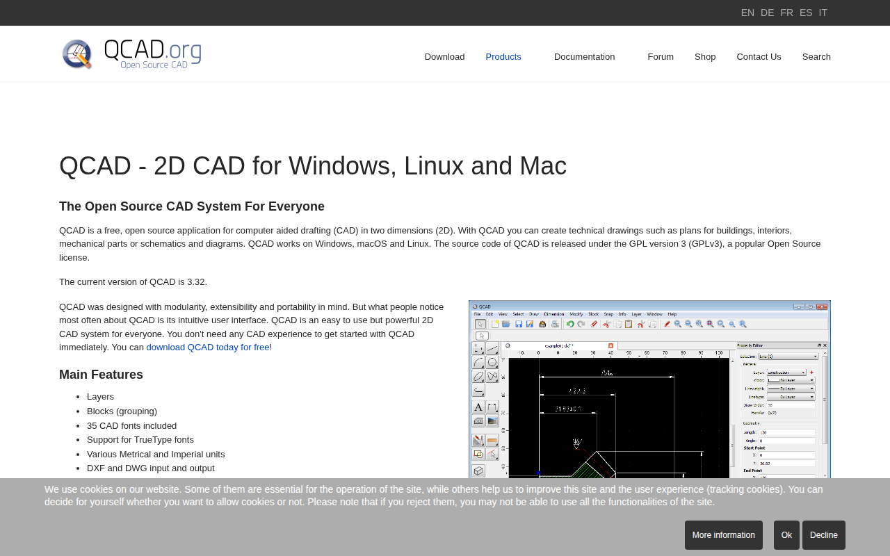
QCAD
Free, open source application for computer aided drafting in 2D
Task & Project Management
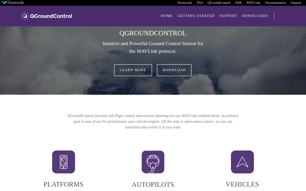
QGroundControl
Ground control station for drones
File Management & Transfer
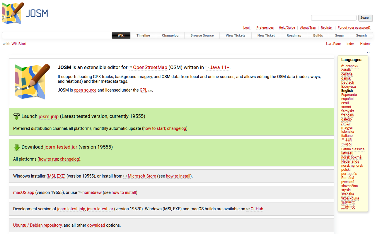
JOSM
Extensible editor for OpenStreetMap
Task & Project Management
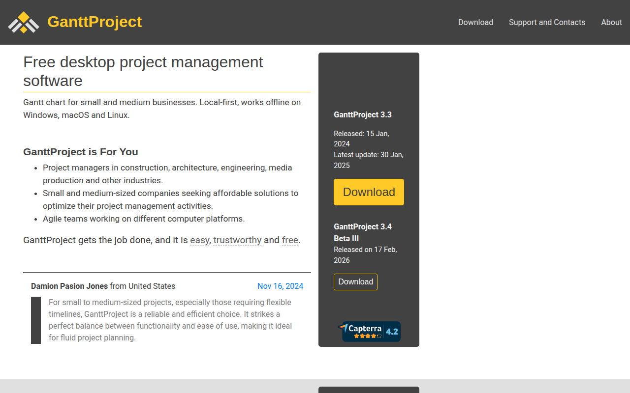
GanttProject
Gantt chart and project management application

File Management & Transfer
FME Form
Platform for integrating spatial data
Task & Project Management
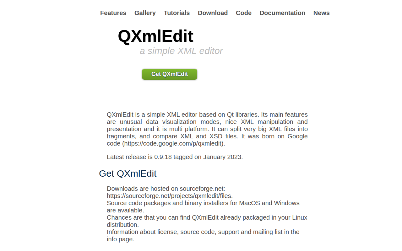
QXmlEdit
XML editor