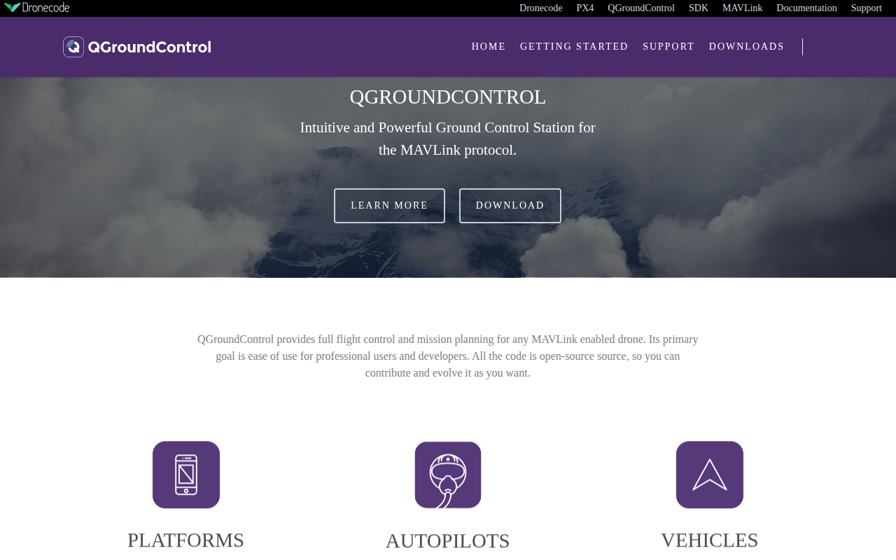
QGroundControl
Ground control station for drones
QGroundControl provides a graphical interface for flight control and mission planning of any MAVLink‑enabled unmanned vehicle. Users can configure waypoints, monitor telemetry, and issue commands for real‑time operation of air, land, or water platforms. The software supports multiple autopilot firmware, including PX4 and ArduPilot, and works with a range of vehicle types such as multirotors, fixed‑wing aircraft, and VTOL systems.
The application is built for cross‑platform use, running on Windows, macOS, Linux, iOS, and Android. Its open‑source code is available under Apache 2.0 and GPLv3, allowing developers to customize the interface, extend functionality, or integrate with other tools via the provided API and SDK. Documentation includes both user and developer guides, and community support is offered through discussion servers and Slack channels.
Designed for both professional operators and developers, QGroundControl emphasizes ease of use while exposing the full capabilities of the MAVLink protocol, making it suitable for testing, research, and operational deployments of autonomous unmanned systems.
Reviews
Loading reviews…
Similar apps
Task & Project Management
QGIS
Geographic Information System
Task & Project Management
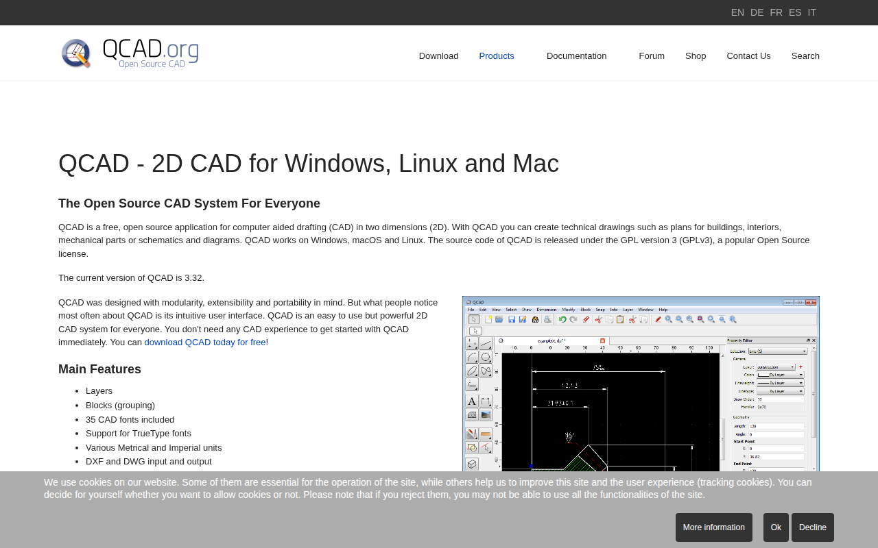
QCAD
Free, open source application for computer aided drafting in 2D
Task & Project Management
qDslrDashboard
Application for controlling Nikon, Canon and Sony cameras
Network & Connectivity
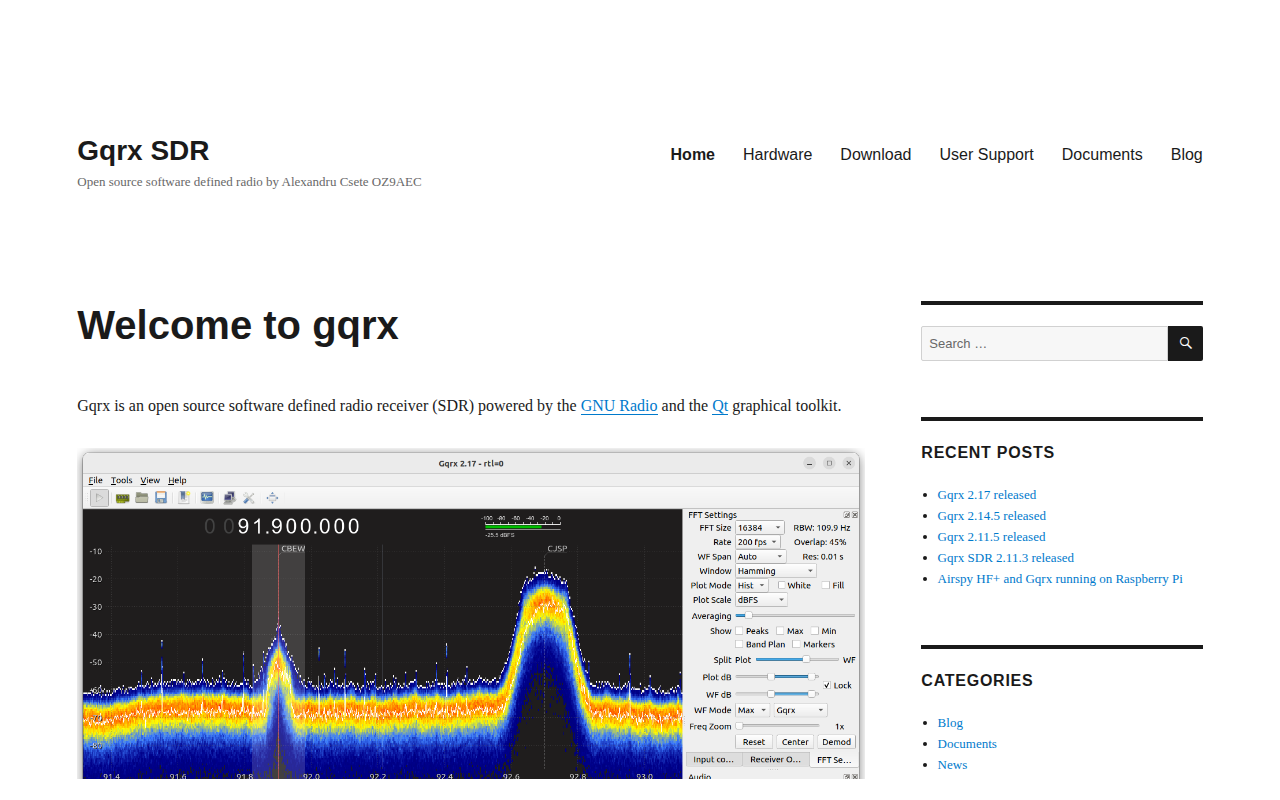
Gqrx
Software-defined radio receiver powered by GNU Radio and Qt
Task & Project Management
QMK Toolbox
Toolbox companion for QMK Firmware
Task & Project Management
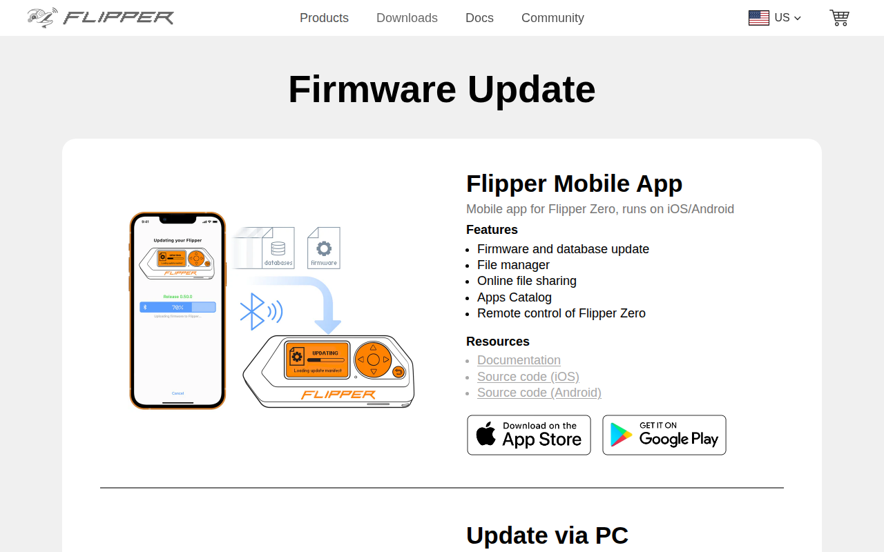
qFlipper
Companion app for Flipper Zero devices